There are much better photos we could have used as an opener, but then why not keep the best for last. We left San Francisco intent on getting to warmer weather, we’ve had a few beautiful sunny days but since departing Shanghai there haven’t been many really hot days. We packed our summer clothes on top and the winter gear at the bottom of our bags and headed south to the wild wild West where my teenage heroes roamed Yeehaaaa……


We set our route from San Francisco south to the Arizona boarder, we did this in one long drive so we could spend more time wondering through Arizona, Utah, New Mexico, eventually we will end up in El Paso Texas. From there we will gun it (move quickly) to Dallas and catch a flight back to Canada but this time to Toronto (flights are much cheaper from Dallas than El Paso)
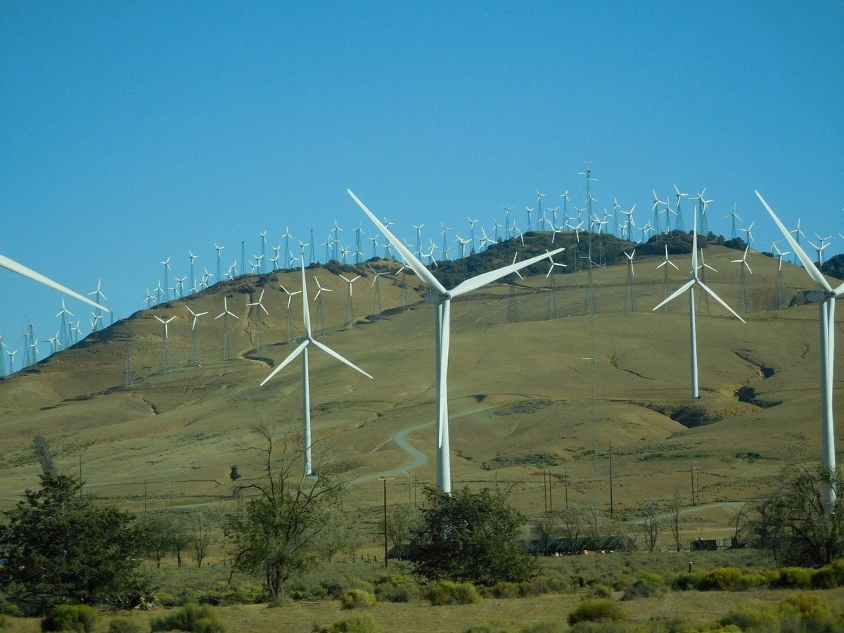
We decided our first port of call would be a little town on the Cal/Az boarder called Needles, we checked in to our motel about 8pm and much to our surprise found the proprietor to be a very pleasant old Indian man, not Indian as in Big Chief Sitting Bull but Indian as in the Taj Mahal. Looking on the bright side I decided that we were not quite there but we were obviously getting warmer in our search for for the old west.
In the morning we were twice as pleased when we realized that our route was to take us along a section of the world famous route 66, so we left the interstate and worked our way on lesser roads to a small town called Oatman.

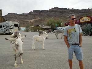
On first impression you would think that donkeys run the town but in actuality this old prospecting town has been maintained by the locals and is a bit of an attraction with a nice rustic old feel, hasn’t quite made it to the full “commercial” status as yet.

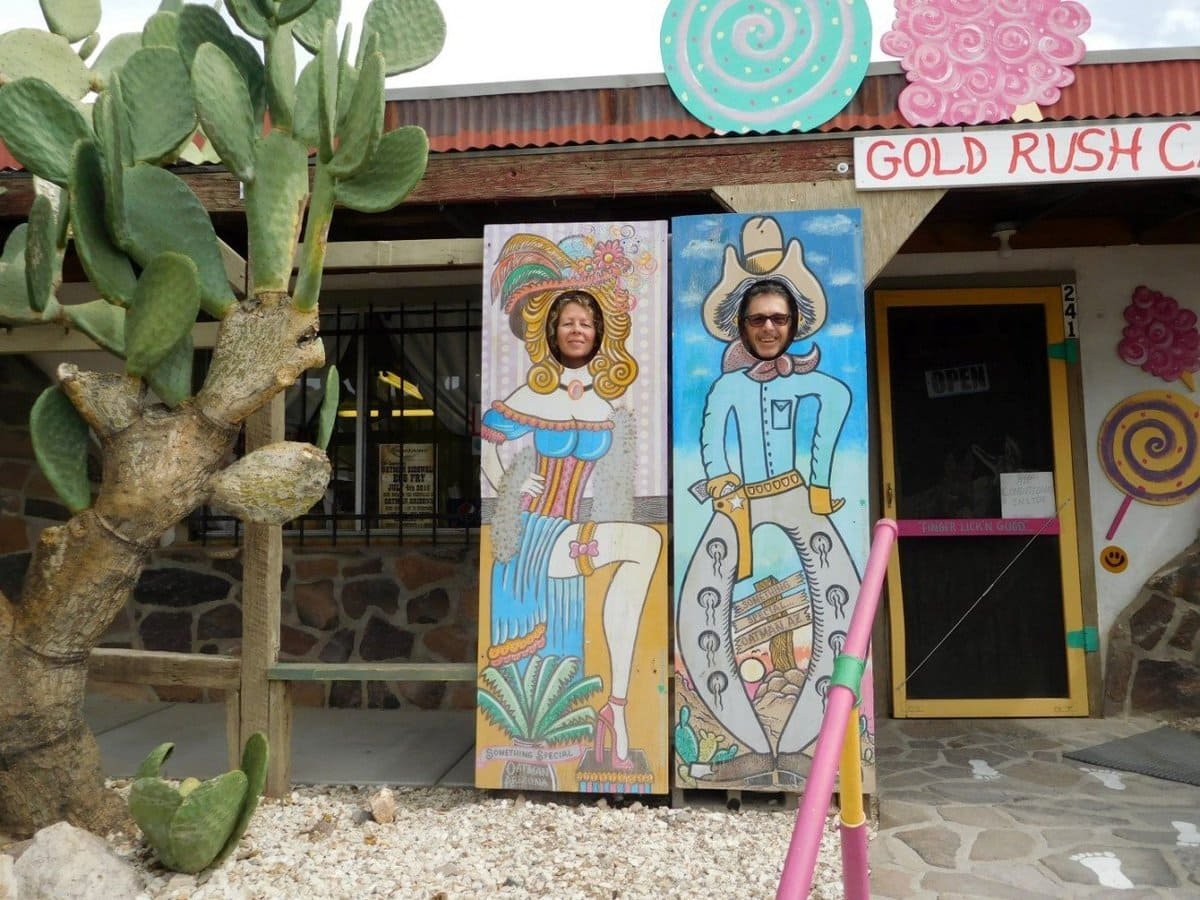
Once a day at noon the locals reenact a gunfight in the main street, so we didn’t hang around, we got out of town quick. Some of the bad-ass gun slingers were in town that day, just look at the photos below, the one in the middle looked like she was gearing up for a fight.

Leaving Oatman the scenery changed and things started to look rugged so from the car window we used up more shots than general Custer, at his Last Stand, ours of course were digital rather than lead based.

After passing through Rattlesnake and Buckskin Wash we got to higher country but things didn’t let up we still had to get past the Devil Dog……
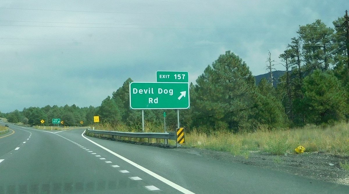
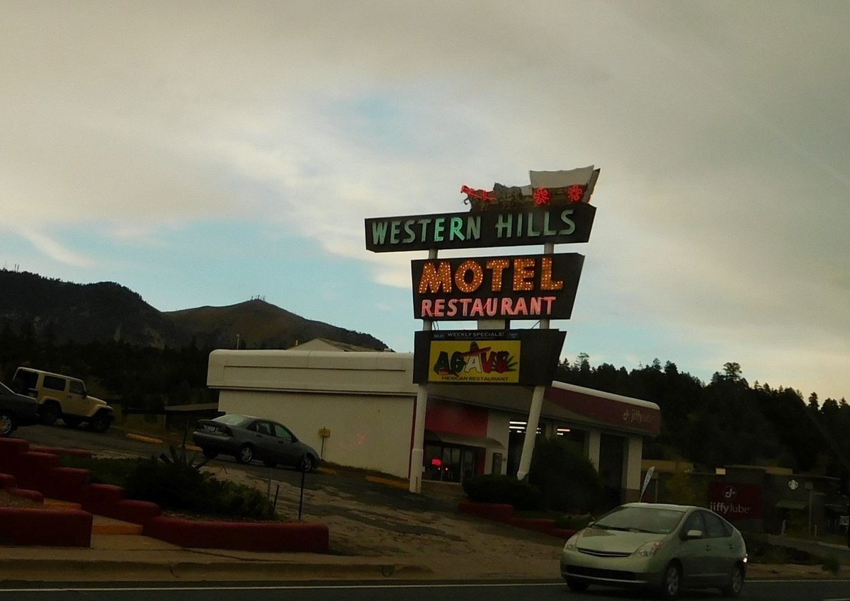
A large part of Arizona is on a plateau as high as 7,000 feet or higher and covered in beautiful tall ponterosa pine forests. Due to its altitude it gets cold and snow covered in winter and yet just a short drive away on lower ground it changes back to hot desert, quite amazing. We heard of a small town called Sedona which is hidden among spectacular hills, so after checking into our motel, also run by Indians we decided we would head there the next day.
The next day from we drove south from Flagstaff through a deep canyon on our way to Sedona dropping a few thousand feet in the process and our ears were loving it, popping almost at every bend. The scenery was spectacular, sheer cliffs and forest covered slopes on both sides and nestled among the trees were wooden cabins and houses. As we approached the bottom of the canyon it opened up and the rocks took on a red colour and then the town.
On either side of town were red tall mountains some with table-tops called “Mesa” a Spanish word for “table” others with strange shapes resembling spires or chimneys. I could bore you with photos of the canyon but somehow I managed to delete them but there was better to come even if we didn’t know it at the time.
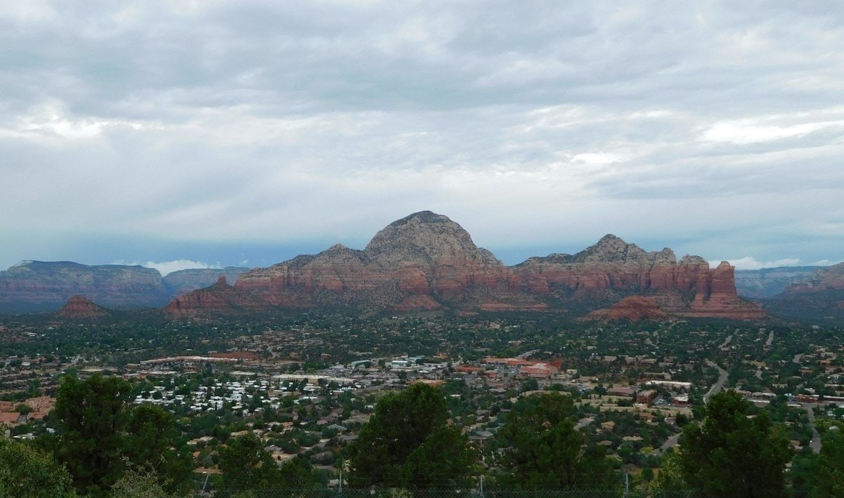
But I did salvage some photos of Sedona.

Wondering high up and low down around Sedona
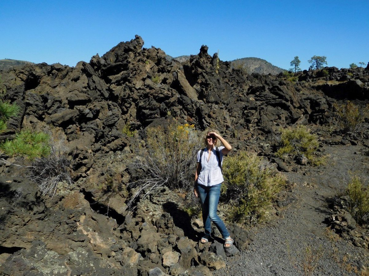
As we left Flagstaff and headed slightly north for the Utah boarder we passed a not so long ago active volcano, rivers of cooled lava were still intact, there were paths on which we could walk through but nothing really could survive in amongst the cooled rock.
Got back in the car and headed towards a small town called Kanab from where we would launch a couple of sight seeing trips just on the Utah-Arizona boarder, as we drove there was something interesting, spectacular or stunning wherever we looked. When following this route blink at your own peril, because if you do you are bound to miss something extraordinary or different, for example:-
- The Pueblo cliff dwellings dating from the 11th century, they liked encompassing rocks into their homes and giant boulders neatly scattered on the adjacent hill.
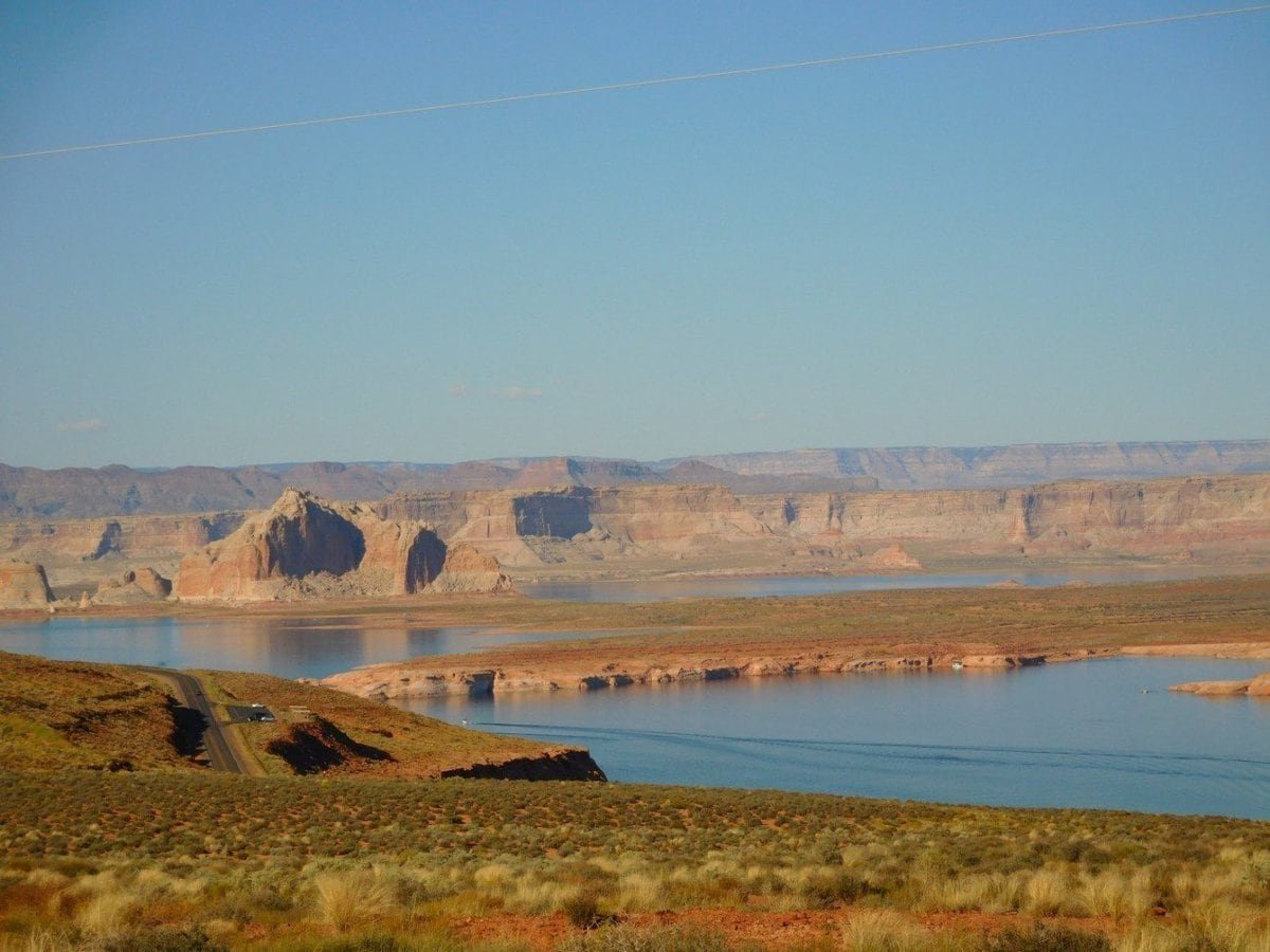
- Mark who we met at a look-out while he was taking in the splendour of the Colorado river at Lake Powell
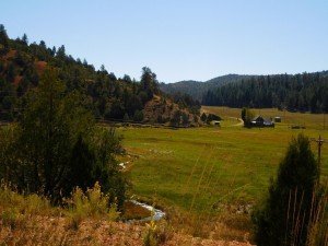
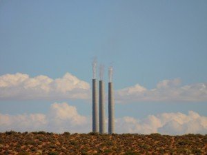
- Utah’s green valleys / blue sky forests and what looks like coal fired something “pizza”?
We arrived in Kanab, a town known for its dramatic landscapes and the setting for many of Hollywood’s westerns, much to our surprise we were checked in to our motel room by a nice Indian young man with an accent which was a cross between Indian and John Wayne, things were really looking up.
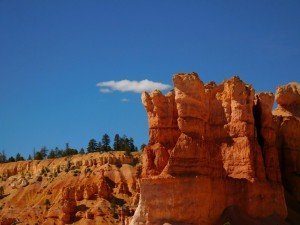
The next day at Bryce Canyon we took so many photos we cannot possibly show them all, so for any die-hards who want to see the rest we will set up a picture blog after this. At Bryce you overlook a massive area filled with enormous hoodoos “towering rocks” of spectacular colour.

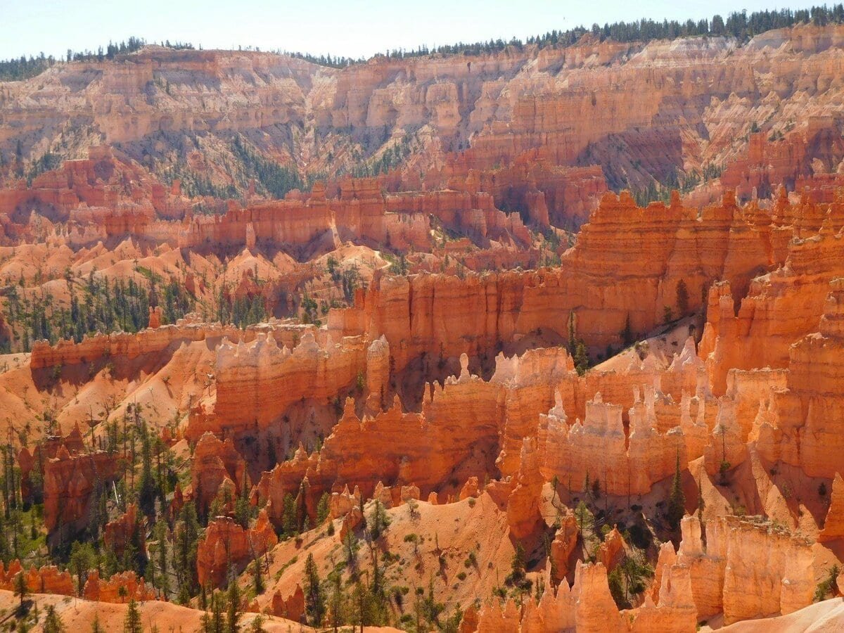
We walked for a few hours amongst the huge structures and took so many photos.
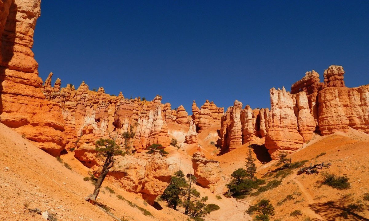
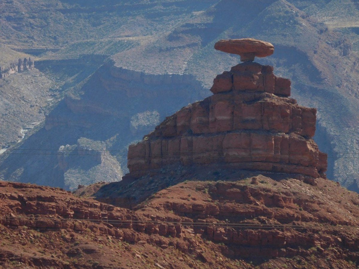
We left Bryce and Kanab heading east for Monument Valley. Monument Valley was the first place we wanted to visit, we knew other places would present themselves on the way but had no idea how spectacular they would be. Whilst on the road we kept up our strength by sampling most of the local fare although not the one in the photo below. We booked into a motel at Mexican Hat, just 20 miles from Monument Valley, the motel was clinging to the rock and hanging over the San Juan river. A “Navaho” indian lady showed us to our room, at last the real thing, we were there!
Corner stone of any nourishing meal and the Mexican Hat.
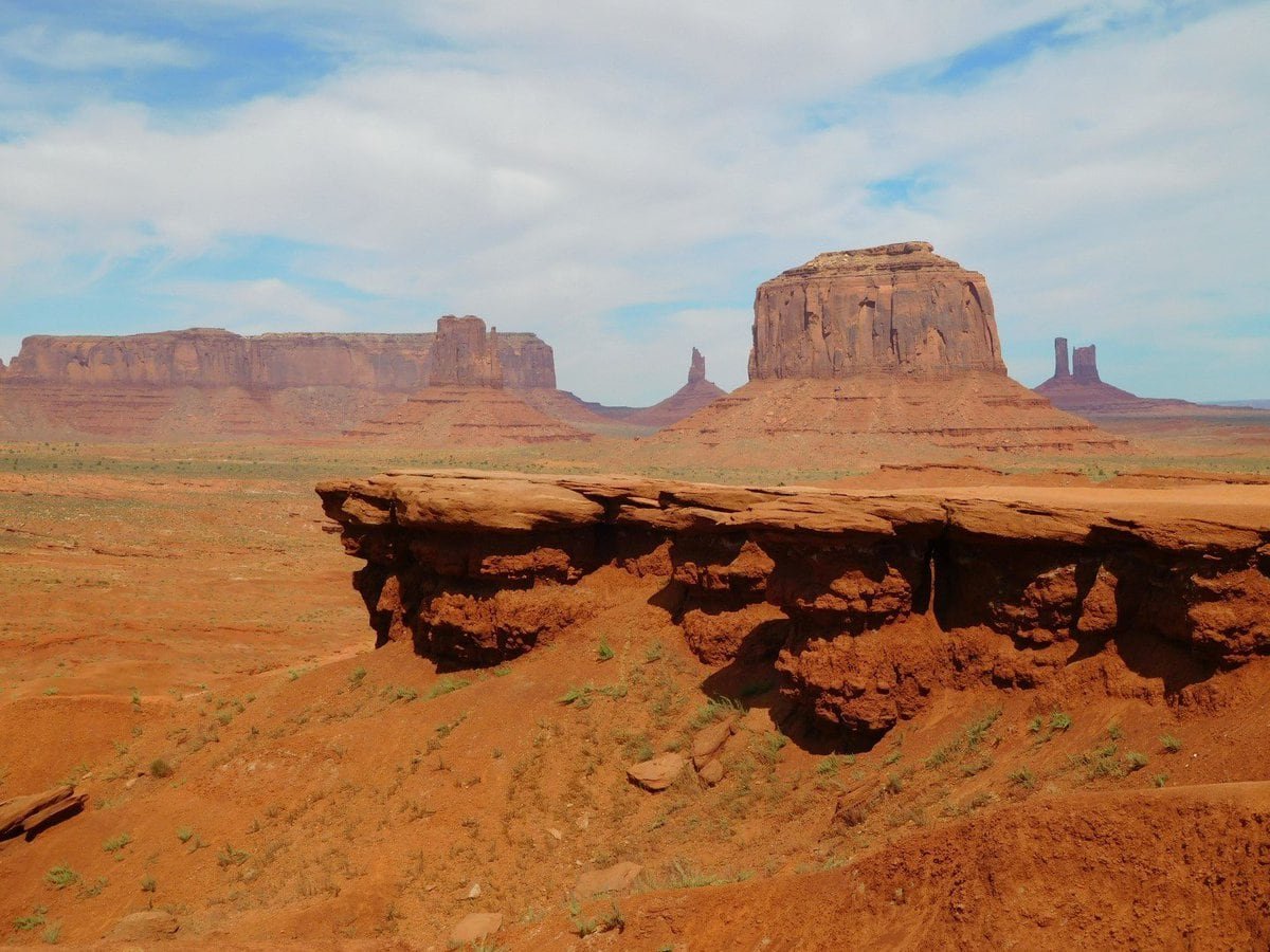
The next day at MV this is what we saw.


We drove around for about three hours staring at these structures, they were so imposing.

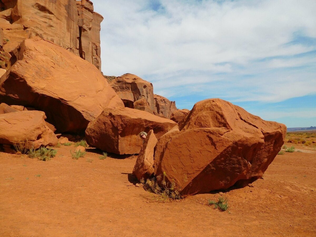

Monument Valley is in Navaho Indian country
To get a sense of size enlarge the next photo and look for the cars. Little white dots on the road to the left of the picture.
The Arizona/Utah drive from Needles to Mexican Hat must be one of the most spectacular scenery drives we have ever done. From there the next morning we drove to Farmington on our way to Santa Fe and I must say that the scenery has not let up.
TOP OF PAGE












Nick, Melene have not looked at your bog for two weeks like being back in a geography.. wow.. such lesson, Mesas and Butes except the pictures are much better in quality than my old geo text book. Quite stunning stuff … much enveious .
One thing I was disappointed with no pics from the home of Doge in Japan then a Doge pic in Berkeley , much happy.
Another dream geological destination for you! I’m just back from the ‘pillow lava’ heaven of Cyprus! Great time as always. Joan xx
Pillow lava heaven? Never knew you were into geology but glad you had a nice time.